
Looking Up Paso Robles Neighbors by Block
The best block lookup starts with a parcel and then adds one record at a time. Land Use View supplies adjacent geometry and owner mailing destinations. The recorder supplies ownership history for a selected parcel. Paso Permits or county permit systems add work context. The Historical Society adds older maps, directories, tax rolls, and newspapers. Neighborhood Watch offers a contact path for organizing a block, not a public member list.
| Source | What it shows about a block | Access |
|---|---|---|
| Land Use View click or buffer | Adjacent parcel geometry, APN, and owner mailing destinations | Free map and mailing-list download |
| County recorder | Ownership history for selected parcels | Free index; images by office or paid order |
| Paso Permits or county permits | Work history, applicants, contractors, and dates | Address or APN search; gaps noted |
| Virginia Peterson Research Library | Tax rolls, maps, directories, newspapers, and historic house clues | Onsite or appointment |
| Paso Robles Neighborhood Watch | How residents can organize a meeting | City page and police community contact |
These sources describe land, filings, work, or community process. None is a complete list of Paso Robles neighbors.
Click Paso Robles Parcels, Not Households
Open the SLO County Parcel Viewer or Land Use View. Find the subject address or APN, select the parcel, and then click the parcels that touch it. The viewer can show parcel outlines, roads, city and county limits, planning areas, districts, permit histories, zoning clearances, and address points. Adjacent parcels should be reviewed one by one so a corner lot or split parcel does not become a false neighbor match.
A parcel owner name or mailing destination is a land-record clue. It is not proof of who is inside a home. Trusts, entities, remote mail, and different site and mailing addresses are common reasons a block result cannot answer a household question. Keep the result at the parcel level until another record supports a person-to-address link.
Build a Buffer Around a Paso Robles Parcel
The county mailing-list guide describes a defined-radius method. Find the subject parcel by address or APN, or pan and zoom to it. Select the parcel, generate a buffer, and download the mailing list. The Identify tool selects mapped features. Query can search fields, suggest indexed values, combine criteria, and limit the result to the current map extent.
- Choose the subject parcel and record its APN before selecting anything nearby.
- Click adjoining parcels for a tight block or create a buffer for a stated radius.
- Download the mailing list only after checking the map extent and selected layers.
- Label every row as parcel, owner mailing, site address, or permit evidence.
- Use the recorder or a dated historical source when an ownership trail matters.
The county buffer and mailing-list guide is the source for the workflow. It does not turn a mailing destination into a list of current occupants.
Owners Around a Paso Robles Block Are Not Occupants
A Paso Robles neighbors result can show a named owner, an entity, a trust, or a mailing address outside the block. A permit can show an applicant or contractor. A directory can show a person at an address in a particular year. The labels matter because each source records a different relationship to the land or building.
| Parcel owner | Recorded or assessed ownership clue; not automatic occupancy. |
|---|---|
| Mailing destination | Where notices go; may be another home, PO box, manager, or trust address. |
| Permit applicant | Person or business tied to a project; not a household record. |
| Historical directory entry | Dated person-to-address clue with publisher-specific gaps. |
This is the main myth to avoid in a block search. A row on a map is a parcel fact first. It becomes a person clue only when a second record supports that link.
Query the Current Paso Robles Map Extent
Land Use View's Query tool is useful when a block has many parcels. Search a field, use an indexed suggestion, combine criteria, and keep the current map extent as the limit. Identify a parcel to inspect its geometry and APN. A small extent reduces the chance that a result from elsewhere in San Luis Obispo County will be mistaken for a nearby property.
Use the city and county limit layers as part of the check. A Paso Robles postal line can reach unincorporated land, and that changes the permit or code custodian. GIS gives the boundary context that a simple neighbor search by name or ZIP cannot.
Neighborhood Watch Has a Contact Path
Paso Robles Neighborhood Watch does not publish a public member directory. Its city instructions tell residents to contact nearby neighbors, choose a host, and call the Police Community Services Specialist at 805-237-4086 for a meeting. That is a community process, not a name lookup. A person who wants to know the block can use the group route without asking the city to disclose a private roster.
The Paso Robles Neighborhood Watch page explains the host and police-community contact path.
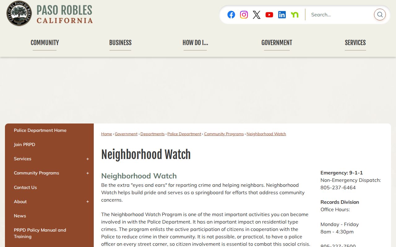
The contact path helps a block organize without turning participation into a public roster.
Private associations, congregations, block watches, and neighborhood groups may keep their own lists. Treat a published contact page as an invitation to reach the group, not proof of every neighbor's identity.
Paso Robles Chamber Listings Show Business Neighbors
The Paso Robles and Templeton Chamber directory adds a business and organization layer around a block. Its categories include agriculture, breweries, professional services, government and education, libraries and museums, manufacturing, religious organizations, schools, and wine country. A listing may show a street address, phone, email, and website. The Chamber is a member directory with paid placement, so it is not an exhaustive map of every business or person.
| Community source | What it can add | What it cannot establish |
|---|---|---|
| Chamber directory | Public business affiliation and contact path | Every business, household, or current occupant |
| Neighborhood Watch | Meeting and host process | Member names or a block roster |
| Local historical files | Organizations, churches, schools, and older addresses | Current private membership |
The Paso Robles Chamber directory is the source for current public business affiliations.
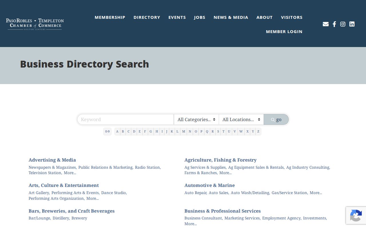
Business listings can add context to a block while remaining distinct from a household or resident roll.
The Chamber lists its contact point at 1314 Spring Street, with phone 805-238-0506 and info@pasorobleschamber.com. Its categories can help a researcher identify a nearby public business, school, museum, or organization before making a direct inquiry. Membership and priority placement mean the directory should be read as a voluntary public listing, not a complete inventory.
For older block context, the Historic Resources Survey links house names, street addresses, APNs, and status. Hamilton House on Chestnut, the Gates, Betts, Lipscomb, and Nelson houses on Oak, and several Vine Street properties show how a named place can be tied back to parcel geography. A historic name adds context to a Paso Robles neighbors search, but it does not identify a current household.
The Paso Robles Historic Resources Survey is the source for that house-to-parcel bridge.
Safe at Home Can Hide a Paso Robles Address
California's Safe at Home Address Confidentiality Program serves qualifying survivors, threatened public servants, reproductive-health affiliates, and household members. It supplies a substitute mailing address, mail forwarding, and confidential voter registration. Agencies and courts generally accept the substitute address, while private and federal entities may not. The program does not erase existing records, and a legal description can still identify land in a deed-related request.
The Secretary of State Safe at Home guidance explains eligibility and enrollment through an enrolling agency. A Paso Robles neighbors search should not try to reverse a confidentiality program or treat a missing name as evidence that no person lives at the address.
The Safe at Home applicant guidance describes substitute-address and confidential-voter protections.
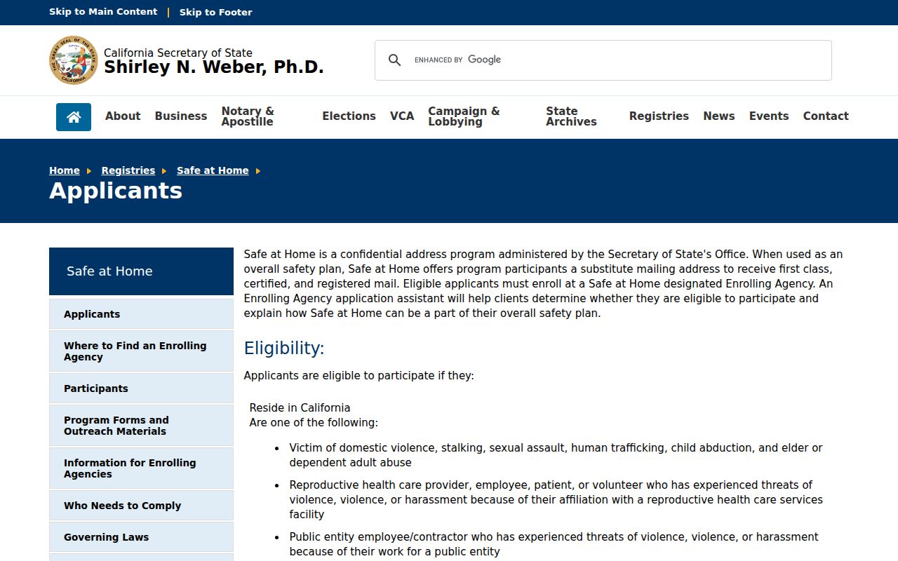
Privacy programs are part of the block record boundary and should be respected when a parcel result is incomplete.
Official Block Records Versus Commercial Neighbor Tools
Commercial neighbor tools may combine maps, public records, licensed data, and inferred relationships. Official sources are more fragmented, but each has a named custodian and a stated access rule. Use the source that matches the question and record the date of the result.
| County map and parcel records | Defined parcel geometry, APN, mailing destination, and jurisdiction. |
|---|---|
| Recorder and permit records | Dated ownership or project roles for selected parcels. |
| Community directory | Voluntary public contact or organization information. |
| Commercial compilation | Fast aggregation, but uncertain freshness, source dates, and identity matching. |
A compilation should never override a custodian's correction or a confidentiality rule. It also should not be used to manufacture a block roster from separate clues.
Privacy Limits on a Paso Robles Neighbor Lookup
California's voter rules, DMV limits, Safe at Home program, and ordinary record exemptions leave real gaps in a neighbors lookup. Unlisted occupants, household members, utility customers, protected voters, and confidential participants cannot be inferred from parcel rows. A public address record supports a defined land or filing question, not an invitation to identify every person nearby.
Lawful use. Use Paso Robles block records for personal, lawful research, civic curiosity, and community contact through the stated channel. Never use a neighbors search to stalk, harass, intimidate, or harm anyone.
When the goal is a whole named street rather than an immediate block, use the Paso Robles street directory address chain. When the question is a past owner, keep it with the deed and historical trail instead of expanding a current block result.