
From a Paso Robles Street Number to a Parcel
The most reliable Paso Robles street directory workflow moves from a postal string to a fixed parcel, then from the parcel to records that use names. Start with the San Luis Obispo County Property Information Search and record the APN, situs, any owner or DBA shown, and the legal-description clue. Next, open the county Land Use View and click the same parcel. The map can expose adjacent parcels, planning layers, and permit history, while the recorder's index supplies the deed roles.
- Enter a full or partial situs in the SLO County Property Information Search; broaden the street string if an exact suffix fails.
- Write down the APN and keep the situs address separate from any owner mailing address.
- Open the SLO County Land Use View, select the parcel, and review the map layers and additional details.
- Use the APN or legal description to identify the matching grantor and grantee entries in the recorder index.
- Check permits, a permitted voter-file route, or a historical directory only for the question each source can answer.
A parcel is the anchor. It prevents a common name, a multi-parcel deed, or a nearby street from pulling the search into the wrong chain.
Search the Paso Robles Property Roll by Four Fields
The county property portal is the first named tool in a current street directory because it accepts four useful search modes. An APN can be full or partial. A situs can use a street number, street name, and abbreviated city. Owner and DBA fields accept a full or partial character sequence when the public display permits the match. Broad queries often work better than a highly specific string.
| Field or mode | Input | Required | Search note |
|---|---|---|---|
| APN | Text | No | Full or partial; non-digits are ignored. |
| Situs | Text | No | Street number, street name, abbreviated city. |
| Owner Name | Text | No | Full or partial character sequence. |
| DBA Name | Text | No | Full or partial business name. |
Results can list APN, owner name, situs, and DBA when available. The county warns that owner names are not displayed as an unrestricted public web directory. If a selected-property screen requires an authorized path, use the Atascadero counter at 6565 Capistrano Avenue or the San Luis Obispo counter instead of guessing from a street result.
The county assessor entry page points to the property search used for a Paso Robles street directory.
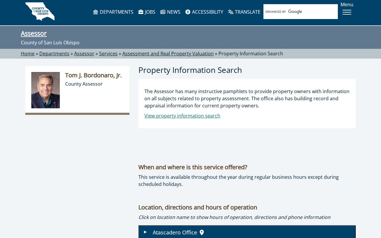
The portal is useful for finding the parcel, but a parcel owner is not automatically the person who occupies it.
Browse a Street in SLO Land Use View
Land Use View turns the street directory into a map task. Search by address or APN, choose a match, double-click to zoom, and select the parcel. The available layers include parcels, roads, city and county limits, planning areas, districts, school and community areas, code enforcement, permits, subdivisions, zoning clearances, census areas, and address points. The viewer can show an owner mailing destination and a site or planning address, but those fields answer different questions.
Pan along a named street to see where parcels split, where a city line changes the custodian, or where a nearby property is actually outside incorporated Paso Robles. The map is also the right place to select an adjacent parcel. The county's mailing-list guide describes a buffer method for a defined radius. A buffer produces parcel mailing destinations, not a list of every person inside every house.
The SLO County Land Use View entry point shows the map source behind a street-by-street parcel review.

Map layers help identify jurisdiction and parcel continuity before the search moves to deeds or permits.
Address Records in the Paso Robles Street Directory
Several records can be searched or requested by an address, yet each one shows a different slice of a street. The county assessor and GIS viewer are parcel tools. The recorder is a party and document index. Paso Permits can expose construction context. Historical tax rolls and directories add dated owner or occupant clues. Voter information is not an ordinary browseable street layer under California law.
| Record set | Keeper | Street-level clue | Access |
|---|---|---|---|
| Property Inquiry Portal | SLO County Assessor | APN, situs, owner or DBA when displayed | Free web search |
| Land Use View | County Planning and GIS | Parcel shape, mailing/site address, layers | Free map |
| Recorded documents | County Clerk-Recorder | Grantor, grantee, date, document number | Free index; images by order or office |
| Paso Permits | City Community Development | Property and permit information | Online search; Clerk request if needed |
| Historical files | Virginia Peterson Research Library | Tax roll, directory, map, newspaper clues | Onsite or appointment |
The chain is address to APN, APN to legal description, legal description to deed, and deed to a dated person or role. The recorder advanced search is name-based, so the parcel is what keeps a street result tied to the right land.
Paso Robles Permits Inside and Outside City Limits
Postal Paso Robles is wider than incorporated Paso Robles. A 93446 mailing address can sit in rural or unincorporated territory, where county Planning and Building rather than city Community Development may hold permit or code records. Check the jurisdiction layer in GIS before choosing the permit office. The city’s Paso Permits page says building projects are submitted and reviewed electronically and offers a property and permit search, but its exact public fields and first digital year were not verified.
For a city parcel, try Paso Permits and the month-by-month Final Permit Reports archive. For an unincorporated parcel, use Land Use View, county systems, or a bounded CPRA request. Ask for an existing record by exact address, APN, permit number, or date range. A permit can name an applicant, owner, contractor, work type, or inspection date; it does not create a household roster.
The Paso Permits page is the city route for property and permit information used beside a street directory.
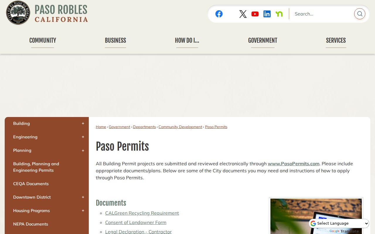
Permit records add dates and project context, while parcel and deed records remain the stronger continuity keys.
Use the Paso Robles APN When the Street String Fails
Paso Robles assessment numbers preserve land continuity when a postal line is shortened, a rural area is annexed, or a historic address is written in a different form. Book 008 identifies Paso Robles city assessment geography. The rest of the number carries page, optional block, and parcel information. Copy the number from the property result and carry it into the GIS map, permit search, tax material, and recorder notes.
A searcher who keeps only a street name can join two nearby properties or miss an older deed. A searcher who keeps the APN and legal description can test whether each record describes the same parcel. That small habit gives the Paso Robles street directory a stable spine.
The assessor search disclaimer and entry page is another county property-search touchpoint.
The disclaimer is a reminder to treat a public property result as a research lead and to confirm the parcel with the custodian.
Three Recorder Eras Along a Paso Robles Street
San Luis Obispo County recorded holdings reach back to county creation in 1850, but the online grantor-grantee index begins in 1923. Downloadable images begin August 8, 2001. The difference matters when a street search moves backward. A 2001 or later image may be purchased online. A 1923 to 2001 hit may need an office inspection or an order. Earlier material requires the county books, indexes, or copy process.
The recorder search includes name, grantor, grantee, document type, recording date, document number, and map book or page where relevant. Search LAST FIRST without punctuation. Use a wildcard or a surname plus first initial when a middle name changes. The county warns that the index can contain errors or omissions and is not a title guarantee.
The Recorder Advanced Search portal exposes the fields that connect a street parcel to recorded parties.
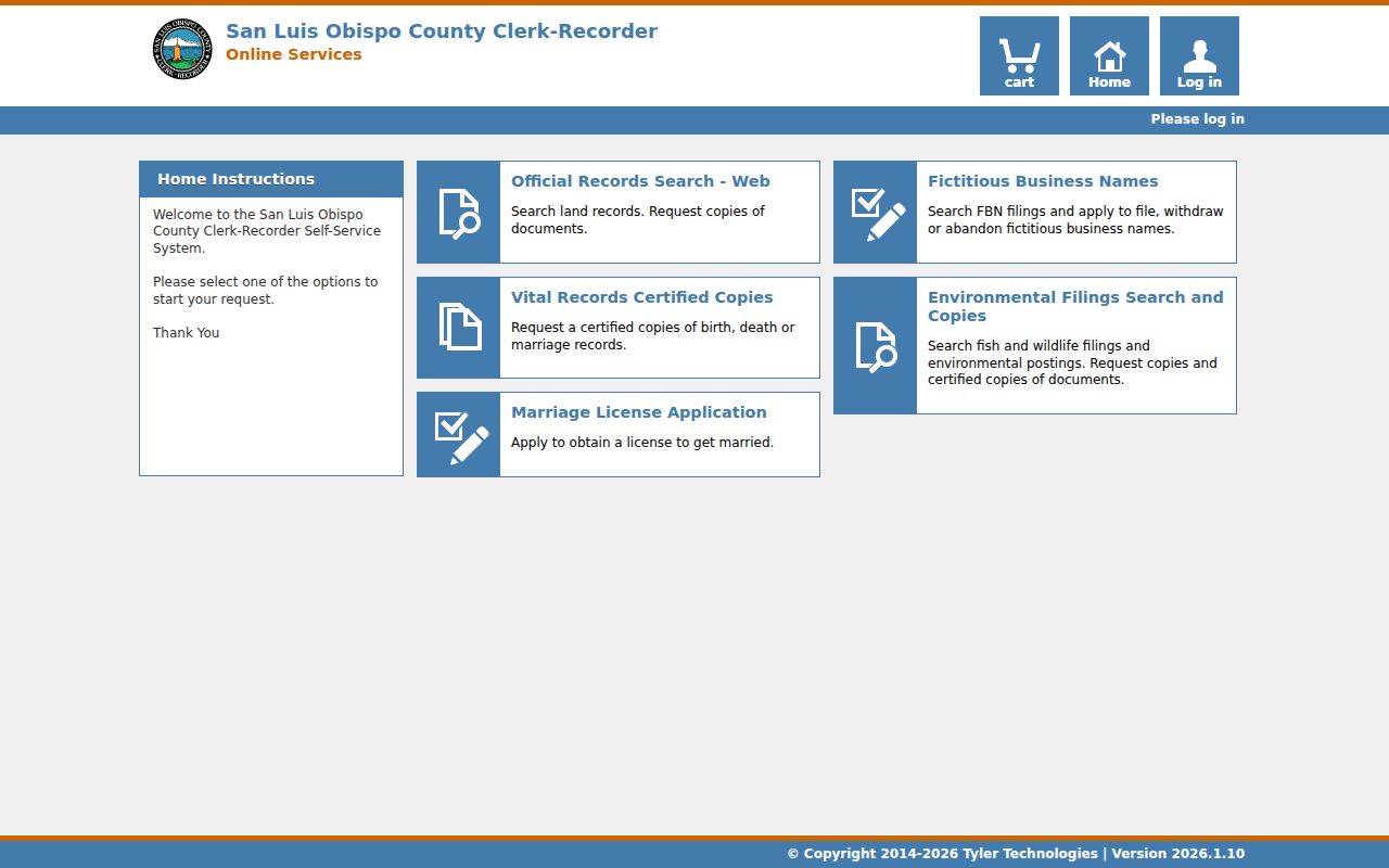
For an old street, the office fallback is part of the search plan, not a sign that the deed trail has ended.
Read Older Paso Robles Streets Through Tax Rolls
The Virginia Peterson Research Library holds San Luis Obispo County and Paso Robles tax assessment rolls from 1892 through 1951. They can identify an assessed owner and a property description during years when a modern parcel interface did not exist. The same collection holds verified regional directory runs for 1954, 1956, 1957, 1958, and 1960, plus newspapers, maps, surname files, and house-history material.
Use the tax roll as assessed-owner evidence, not as a claim that the owner occupied the property. Pair it with a deed, census schedule, newspaper notice, or directory entry. The historical shelf is especially useful when a present street number hides an older rural or resort-era address. The full collection and reading method are covered in the Paso Robles directory book page.
Why a Paso Robles Street Directory Cannot Browse Voters
My Voter Status requires an authenticated first name, last name, date of birth, and identifying number. It returns the record of that voter, not the people registered next door. California Elections Code §2194 limits a voter-file release to election, scholarly, journalistic, political, or governmental purposes. The release can contain address and participation fields for an approved request, but private browsing, marketing, harassment, and unauthorized reproduction are not permitted.
That boundary changes the street directory workflow. Use parcel and deed records for ownership, permits for work history, and historical collections for dated household clues. Do not imply a voter absence from a parcel or infer a household from one self-lookup. A self-check is useful to the person authenticating it, not a public block list.
What the Paso Robles Street Directory Cannot Show
An address-keyed record can show a parcel, a mailing destination, an owner, a permit role, or a party to a deed. It cannot reveal every person inside a building. Unlisted occupants, household members, utility customers, protected voters, and Safe at Home participants do not become public simply because a parcel appears on a map. DMV address information is restricted under the federal Driver's Privacy Protection Act.
- Parcel
- A mapped unit of land tracked by an APN.
- Situs
- The physical site address tied to the land or improvement.
- Plat
- A recorded map that lays out lots, blocks, streets, or boundaries.
- Criss-cross directory
- A directory arrangement that lets a reader move from an address or street to a named entry when the volume contains that section.
Lawful use. Paso Robles address records support personal, lawful research and civic questions. Using a street or name trail to stalk, harass, intimidate, or harm anyone is not an acceptable use.
Request the Missing Paso Robles Address Record
When a portal fails, name the existing record rather than asking an office to create a list of everyone connected to a street. Paso Robles City Clerk requests can identify an address, APN, permit type, date range, or record title. The county recorder accepts office, mail, email, fax, and online copy channels. Historical material moves to the Society, which asks visitors to call 805-238-4996 or make an appointment.
State the delivery choice. City inspection during business hours avoids copy charges. County recorded images from the later online period may be purchased, while older images and vital indexes require an office or written route. A clear request lets the custodian apply exemptions and explain whether the gap is a missing record, a withheld field, or a record held by another office.
Note: A bounded request with an APN, date, and record type is more useful than a broad request for a complete street roster.