
The Two Paso Robles ZIP Codes
The Paso Robles ZIP code directory begins with 93446 and 93447. The first is the primary street-delivery code and uses the Paso Robles postal name across incorporated and surrounding rural territory. The second is used for Paso Robles mailing and PO-box routing and is routed with the 93446 office. Verify any specific classification with USPS rather than treating a code as proof of a city boundary.
| ZIP | Areas covered | Post office | Notes |
|---|---|---|---|
| 93446 | Incorporated Paso Robles plus broad rural and unincorporated territory using the Paso Robles postal name | Paso Robles Post Office, 800 6th Street | Primary street-delivery ZIP; postal line is not city limit |
| 93447 | Paso Robles mailing and PO-box routing | Routed with the 93446 office | Verify the current classification for a full address |
The Paso Robles Post Office lists phone 805-237-8342, counter hours Monday through Friday 8:30 to 5 and Saturday 9 to 2, and a 24-hour PO-box lobby. The USPS location record is the source for the office details.
Verify a Full Paso Robles Postal Address
A ZIP code is most useful after USPS has matched a complete delivery address. Enter the street number, street name, city, state, and ZIP in the official lookup. The result can confirm the delivery route and the postal form. It cannot tell you which permit office has jurisdiction, who occupies the building, or whether a directory entry is the right person.
Use the USPS address lookup when a historic address, rural route, PO box, or city spelling is unclear. Preserve the result as postal evidence, then use the county parcel map for land and jurisdiction questions. A correct ZIP can still sit outside incorporated Paso Robles.
The official USPS address lookup is the right first check for a complete Paso Robles delivery address.
USPS confirms postal routing, while county GIS decides which local record custodian to use next.
93446 Reaches Beyond Paso Robles City Limits
The largest geography fact in the Paso Robles postal directory is the mismatch between postal Paso Robles and incorporated Paso Robles. A 93446 address can be rural or unincorporated. If the parcel lies outside the city, county Planning and Building may hold permits or code records instead of Paso Robles Community Development. Choose the office from the GIS jurisdiction layer, not from the city name in the mailing line.
Growth makes the distinction important for historical work. Sherwood Acres and the first airfield were annexed in March 1952, the Orchard Tract followed in 1957, and later annexations expanded east of the Salinas River. Annexation can change the permit custodian without changing the deed chain or postal identity.
The Paso Robles demographics source supplies local growth context for reading ZIP and city boundaries.
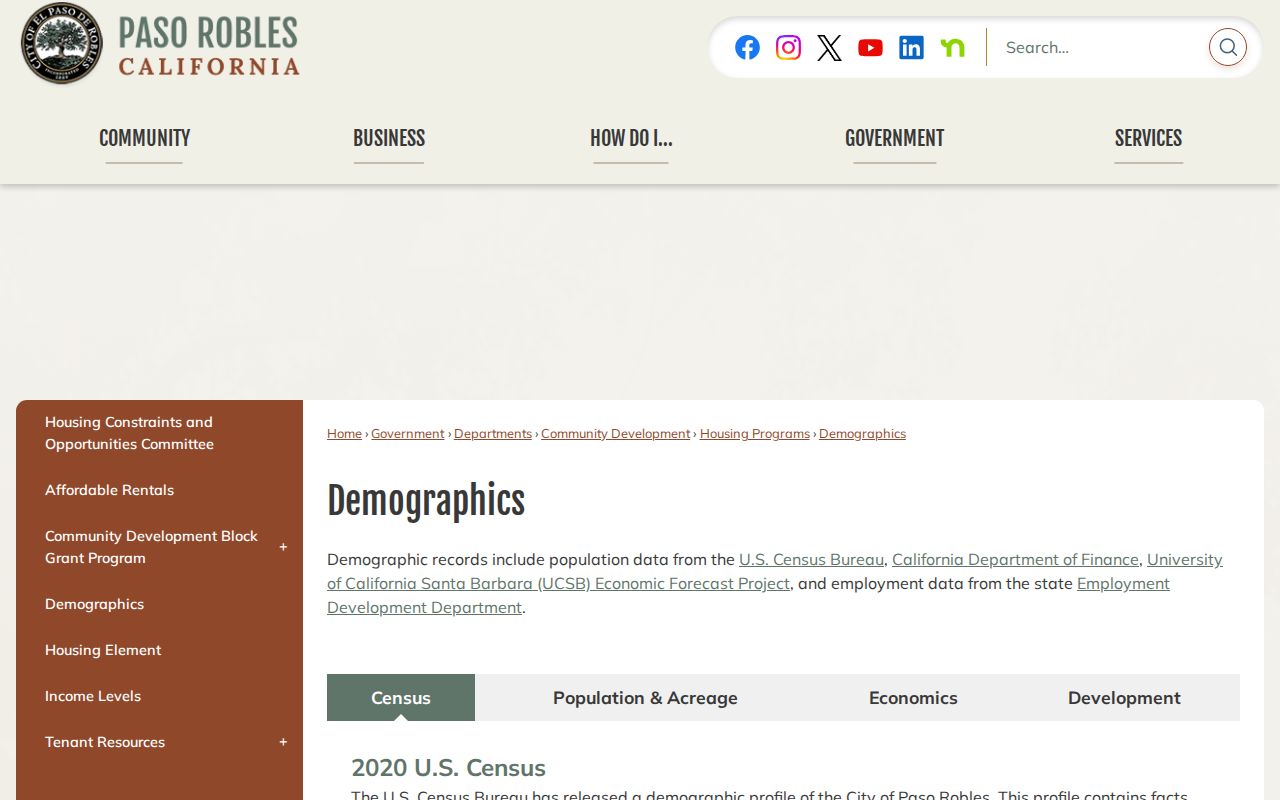
Population growth and annexation history help explain why a postal name can cover more land than the incorporated city.
Find Paso Robles Residents by ZIP Code
A postal search should narrow the geography before it selects the record. The county assessor portal does not provide a verified ZIP-wide people filter in the captured research. Start with a full address or APN, select each parcel in GIS, and then use a record that is lawfully searchable by the relevant name or address. A name and phone lookup can help begin a personal search, but the official record still controls the conclusion.
- Verify the complete address through USPS and note whether it is street delivery or PO-box routing.
- Check the parcel and city or county limit in the SLO County GIS viewer.
- Search the assessor by situs or APN, keeping owner mailing and physical situs separate.
- Use deeds, permits, historical directories, or an approved records request for the question at hand.
- Once the ZIP narrows to a street, continue with the Paso Robles street directory address workflow.
The result is a record trail, not a ZIP-wide household roster. Every name should carry a source role and date.
What Paso Robles Assessor and GIS Search Can Do
Address and parcel tools are more reliable than an assumed ZIP filter. The San Luis Obispo County Property Information Search accepts APN, situs, owner name, and DBA name. The county GIS viewer adds parcel shape, jurisdiction, planning, permit, and district layers. Neither source turns ZIP geography into a public list of current residents.
| Portal field | Input | What it adds to ZIP research |
|---|---|---|
| APN | Full or partial text | Stable parcel key after postal text changes |
| Situs | Street number, name, abbreviated city | Physical address match |
| Owner Name | Full or partial text | Owner clue where public display allows it |
| DBA Name | Full or partial business name | Business affiliation at a site |
Use the SLO County Property Information Search for the parcel step and the Parcel Viewer for the boundary step. A broad address search can be better than a false claim that a ZIP field covers every parcel.
93465 Is Templeton, Not a Paso Robles ZIP
Nearby postal geography can make a postal guide look larger than it is. The Paso Robles City Library independently describes its service area as Paso Robles 93446 and 93447 plus Templeton 93465. That service-area grouping does not make 93465 a Paso Robles ZIP. Keep Templeton separate in a search, especially when a library, business, or mailing result uses a nearby community name.
A wrong ZIP label can send a records request to the wrong office or make a business affiliation look like a city resident clue. Confirm the full postal result, then confirm the parcel jurisdiction. Postal city, incorporated city, and county planning area can all be different fields.
The same caution applies to 93447. Research identifies it as Paso Robles mailing and PO-box routing, but the available material does not establish a universal rule for every current address. Use the full USPS result for a specific box or delivery line. Do not turn a library service area, a postal counter label, or a nearby town code into a municipal boundary.
When the question concerns a record rather than delivery, carry the verified address to the county map. The parcel layer can show whether Paso Robles or county Planning and Building is the right next office. That extra step keeps a postal guide from sending a person to a custodian that does not hold the record.
A ZCTA Is Not a Paso Robles Postal Boundary
The Census Bureau's ZIP Code Tabulation Areas are statistical approximations built for data use. A ZCTA is not an exact USPS delivery route and should not be treated as the legal edge of Paso Robles. Census geography can help compare population or map patterns, while USPS confirms a deliverable address and county GIS confirms a parcel's local jurisdiction.
The Census ZCTA guidance explains the statistical limit behind a postal reference.
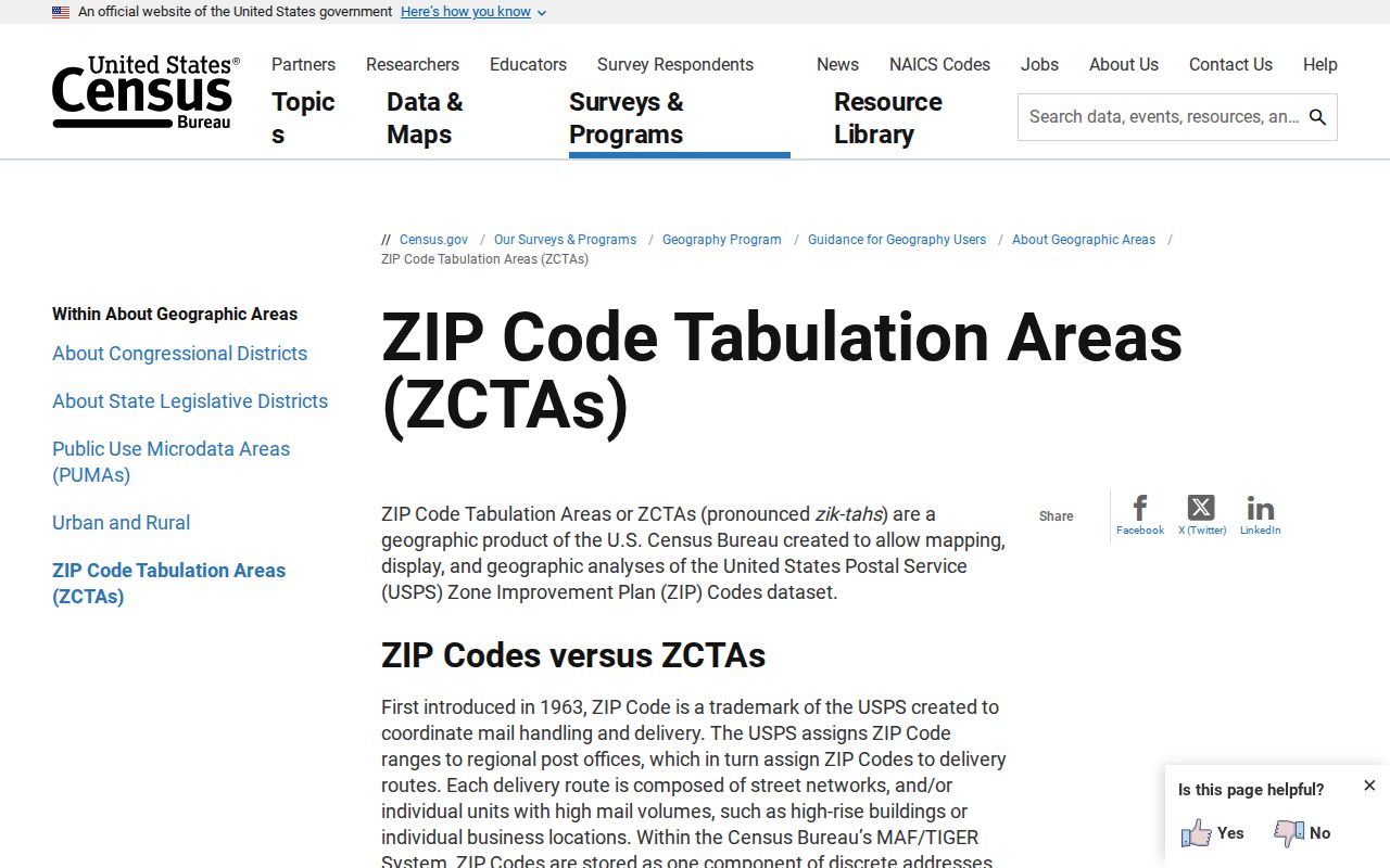
The statistical area is useful for comparison, but a person or parcel search needs the actual postal and land records.
Situs, Mailing, and Legal Description in ZIP Research
Three address keys answer three different questions in a Paso Robles postal reference. Situs locates the physical parcel. Owner mailing tells where tax or notice mail goes. The legal description and APN identify the land over time. A ZIP code belongs to the postal line, so it may sit beside rather than inside the legal or municipal boundary.
- ZIP code
- A postal delivery or routing label used by USPS.
- ZIP+4
- An added four-digit delivery segment used to refine a postal address.
- PO-box routing
- Mail directed to a post-office box rather than a street-delivery premise.
- Carrier route
- A postal delivery path, not a list of households or a city boundary.
Keep the terms visible in notes. A postal reference that collapses them into one address field can create a false match.
Annexation Changed Paso Robles Jurisdiction
Historic Paso Robles grew through annexations after 1952, including Sherwood Acres and the Orchard Tract. The city's boundary and its permit role could expand while a postal address stayed the same. That is why a historic household trail should use tax rolls, deeds, directories, and maps, while a current permit question should check the present GIS jurisdiction layer.
The 1980s growth surge, from 9,200 residents in 1980 to 18,600 in 1990, is a research clue for new subdivisions and changing address context. It does not prove a ZIP split or street renumbering. The research found no verified comprehensive ZIP realignment history, so a specific historical claim should be requested from City Planning or Engineering.
Use a ZIP Code Directory as a First Filter
A Paso Robles ZIP code directory is useful for sorting a search, checking a postal form, or finding the right first office. It is not evidence that every 93446 address lies in the city, that 93447 is a geographic neighborhood, or that a person connected to a postal line lives there now. Confirm the parcel, label the address type, and then follow the record-specific route.
Postal routing material pairs 93446 and 93447 under the Paso Robles name, while the city and county maps answer land questions. The research did not verify a comprehensive ZIP polygon by neighborhood, a ZIP realignment history, or a street-renumbering year. If a historical address needs that detail, request address-assignment or boundary records from City Engineering or Planning instead of filling the gap with a map guess.
Boundary check. Let USPS verify delivery and let county GIS select the permit or parcel custodian. Do not infer a person's current location from a ZIP code alone.
The Paso Robles Post Office listing ties the local ZIP routes to a real counter and PO-box service.
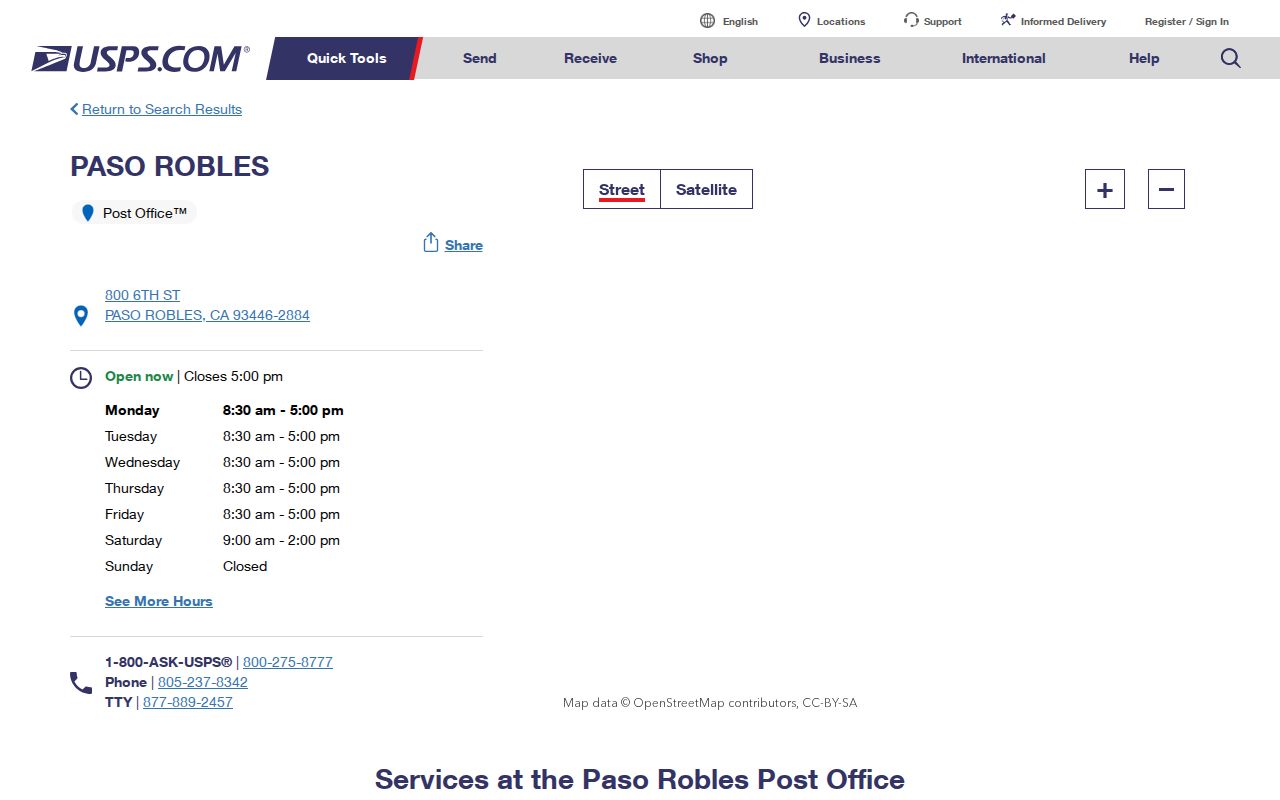
The counter is a postal access point, while county and city offices hold the land and public-record evidence.